Flight at Mt. Greylock, MA on 980514
Mt. Greylock is the highest point in Massachusetts.
Height is 3688ft (1201m).
Above P4 license is required to fly there.
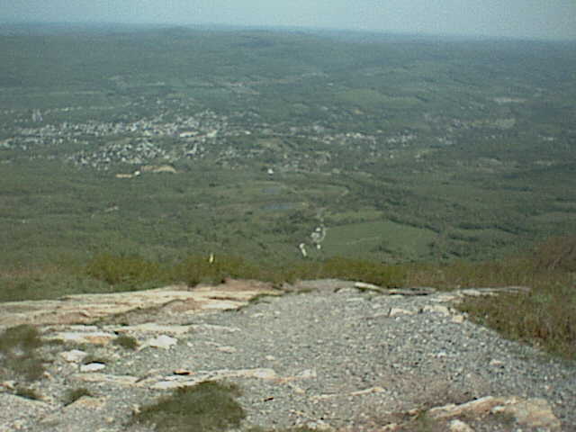
 Commanding a view of landing zone from launch. Height difference is about 800m.
Pretty much rock expose at launch.
The landing zone is at a little bit right of the center of the picture.
The langing zone is grassland so that pilots go to road taking care
not to bring down grass. Then pilots fold canopy.
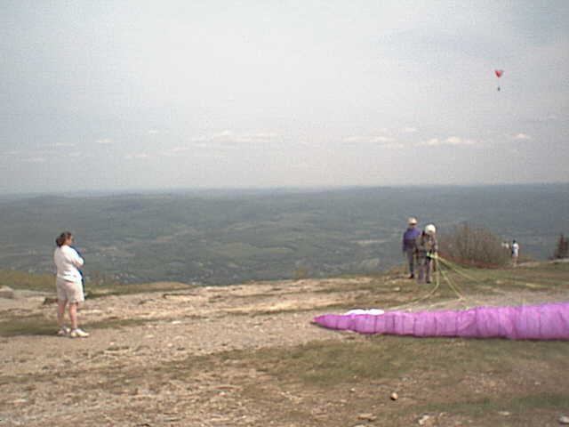
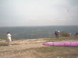
Commanding a view of landing zone from launch. Height difference is about 800m.
Pretty much rock expose at launch.
The landing zone is at a little bit right of the center of the picture.
The langing zone is grassland so that pilots go to road taking care
not to bring down grass. Then pilots fold canopy.
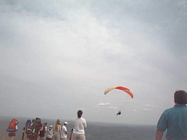
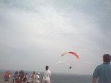 Around the launch.
The top of mountain is scenic place that there is roadway and trail.
Many gallerys watch pilots.
Around the launch.
The top of mountain is scenic place that there is roadway and trail.
Many gallerys watch pilots.
 Tak prepares for launch. The canopy is new Nova Vertex.
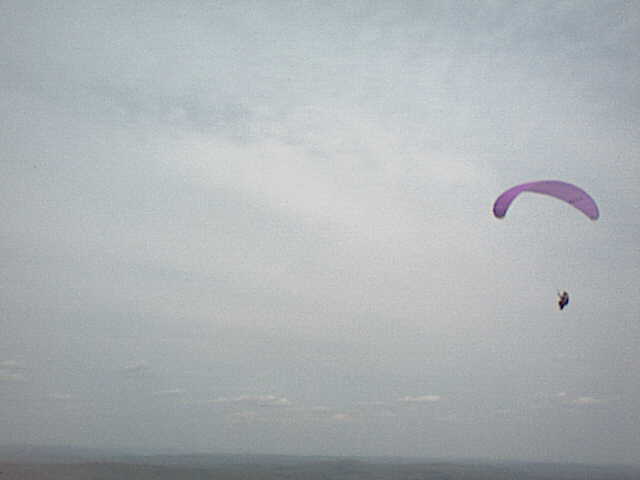
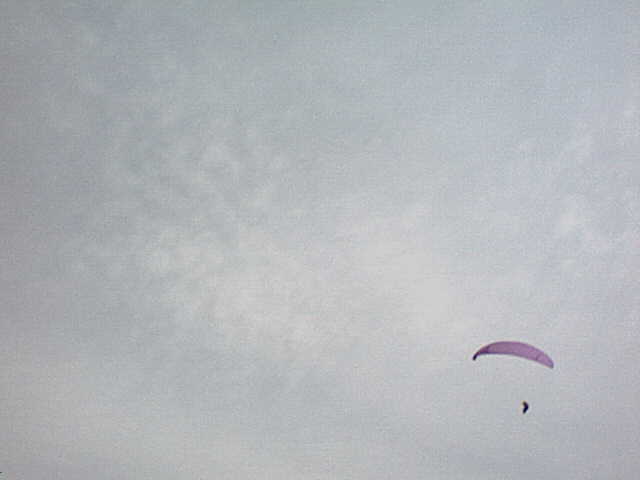
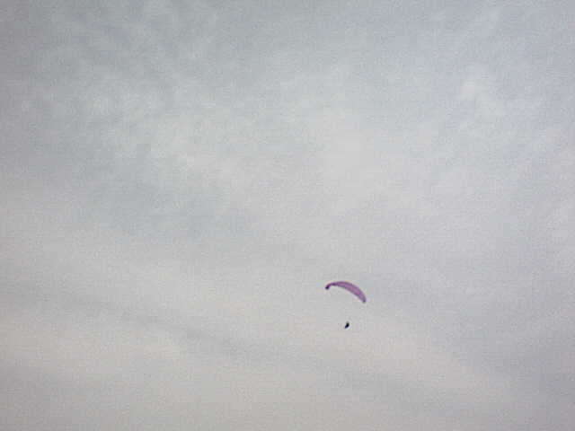
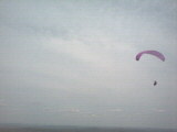
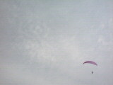
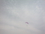
Tak flying.
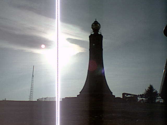
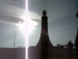 Radio tower(left side) and unused light tower(right side)
at the top of mountain.
Radio tower(left side) and unused light tower(right side)
at the top of mountain.
 Commanding a view of landing zone from launch. Height difference is about 800m.
Pretty much rock expose at launch.
The landing zone is at a little bit right of the center of the picture.
The langing zone is grassland so that pilots go to road taking care
not to bring down grass. Then pilots fold canopy.
Commanding a view of landing zone from launch. Height difference is about 800m.
Pretty much rock expose at launch.
The landing zone is at a little bit right of the center of the picture.
The langing zone is grassland so that pilots go to road taking care
not to bring down grass. Then pilots fold canopy.